
 Chiricahua protects the amazing array of vertical rock formations formed by ancient volcanic activity and eons of erosion in southeast Arizona.
Visitor Rating (write your own review below)
Bonita Campground & trails network
Amazing & breathtaking
ILNP Rating![]()
ILNP Park Review
 Our Visit I visited Chiricahua during October when I had an afternoon free during a trip to Tucson.
Our Weather Clear with a temperature in the low 80s
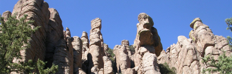
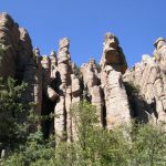
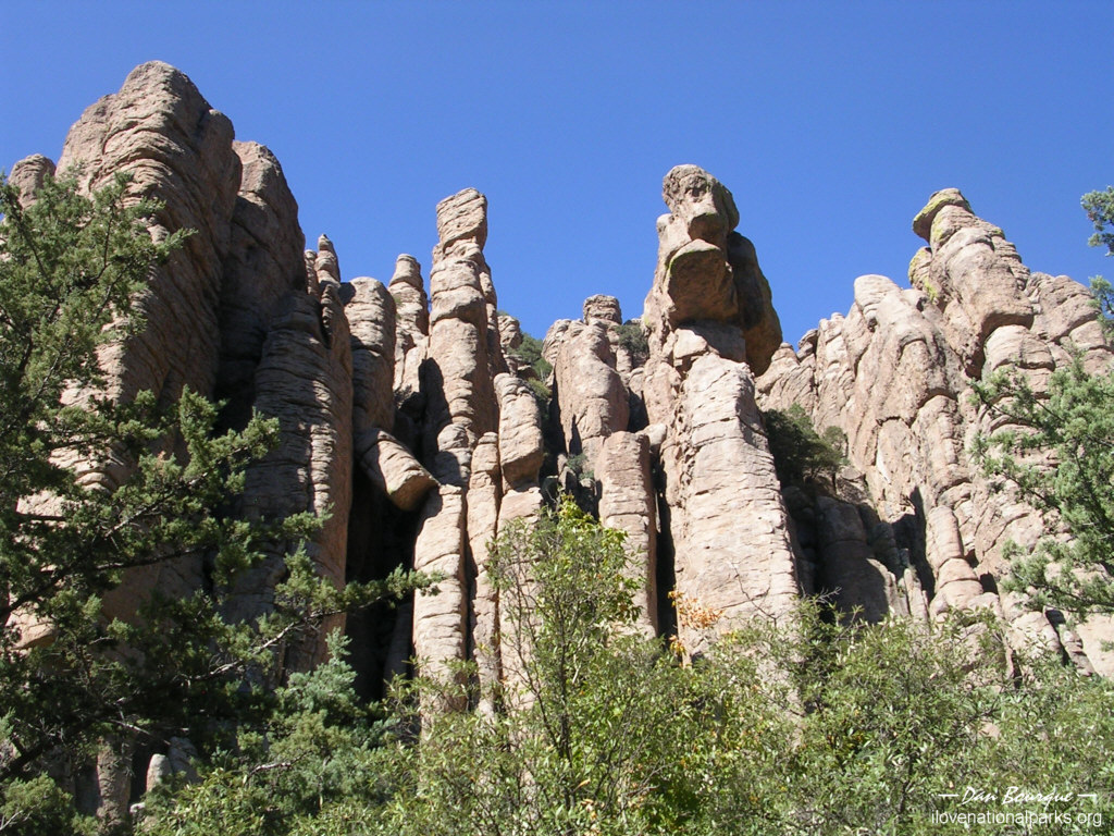
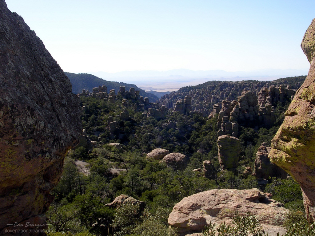
Formations as seen from Echo Canyon Trail (October)
Overall Impression. Chiricahua’s natural beauty rivals many National Parks. It was set aside to protect a large array of unique and spectacular vertical rock formations formed by ancient volcanic activity and erosion. Chiricahua reminds me somewhat of Bryce Canyon but with browner rocks, more trees and more diverse formations. This is a great place to hike around with plenty of variety to satisfy anyone from the novice looking for a 1/2 mile jaunt to those wishing to spend all day on the trail. In addition to the rocks, the park hosts tours of the Faraway Ranch, an historic homestead, and is home to many species including black bear and the odd-looking coatimundi (looks like a cross between a squirrel and a raccoon).
Visiting. Plan on spending at least 2-4 hours in the park, though you could easily spend two or more days exploring all the canyons and trails. For a quick visit, stop by the visitors center and get a recommendation from the Park Ranger. The 8-mile road through the park takes you by many pullouts where you can look up at some great formations. Drive to the end of the road at Massai Point where you’re looking down into expansive bowls and canyons filled with the vertical rocks. The Massai Nature Trail offers a quick jaunt into the beginnings of the formations, and even though you’re only a few yards from the parking lot, it gives the impression of a more secluded trail. This is also a great spot for watching the sunset.
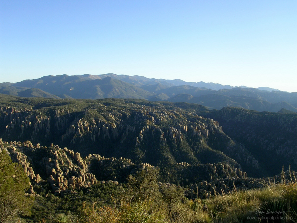
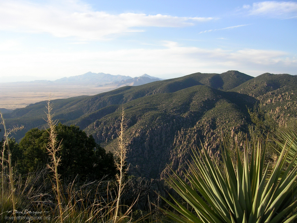
View looking south from Sugarloaf Mountain toward the remains of the ancient Turkey Creek Volcano (horizon) which spawned these unique formations (October)
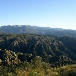
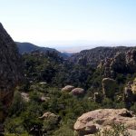
If you’re more into the human history in the area, the Park Rangers host tours of the Faraway Ranch homestead which housed the Riggs family, early proponents of both tourism and conservation in this area (ask at the Visitors Center for times). If you’re looking for a good hike, the most popular is probably the Echo Canyon Loop. The 3.2 mile loop drops quickly into the formations, and you find yourself staring face-to-face with fantastic rock formations and skirting through small gaps and canyons between the rocks. The trail cuts through the pine forest at the bottom of the canyon before looping back up on the Hailstone Trail and finishing off on the Ed Riggs Trail. If you like panoramic vistas more than formations, you can hike to the top of Sugarloaf Mountain (7,310 ft) via the one-mile trail. I’d definitely recommend a hike through the formations over this one, though.
Suggestions. If you go for a hike, keep in mind the elevation here is above 6,000 ft, so you’ll need to take it easier than you would at sea level. It’s also Arizona, so it’s dry–take plenty of water (duh). I would also recommend hiking with a friend. In 3 hours of hiking over 6 miles, I did not see a single soul on the trail! To add to the isolation, there is no cell phone coverage, so be careful. The trails are rocky, and it would easy to slip and break something if you’re too engrossed in rock watching. Also, keep a careful watch out for rattlesnakes.
P.S. When driving along I-10, you’ll see numerous signs trying to get you to stop and see “The Thing” at exit 322. If you really want to be surprised, stop reading. If you want to know what it is before you spend your $1 to go through the door, it’s a collection of old cars, wagons, guns, antiques and wood carvings that takes about 5 minutes to walk through.
Nearby Towns Willcox, AZ
Other Nearby Attractions Ft. Bowie NHS, Ft. Huachuca NHS, Tombstone, AZ
Official NPS Website Chiricahua NM
-
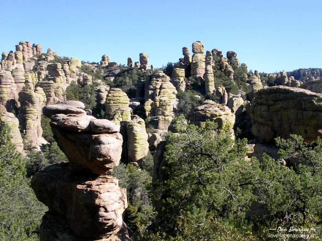
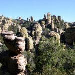
- This formation towers above the road in the middle of the park (October)
-
- Formations as seen from Echo Canyon Trail (October)
-
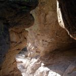
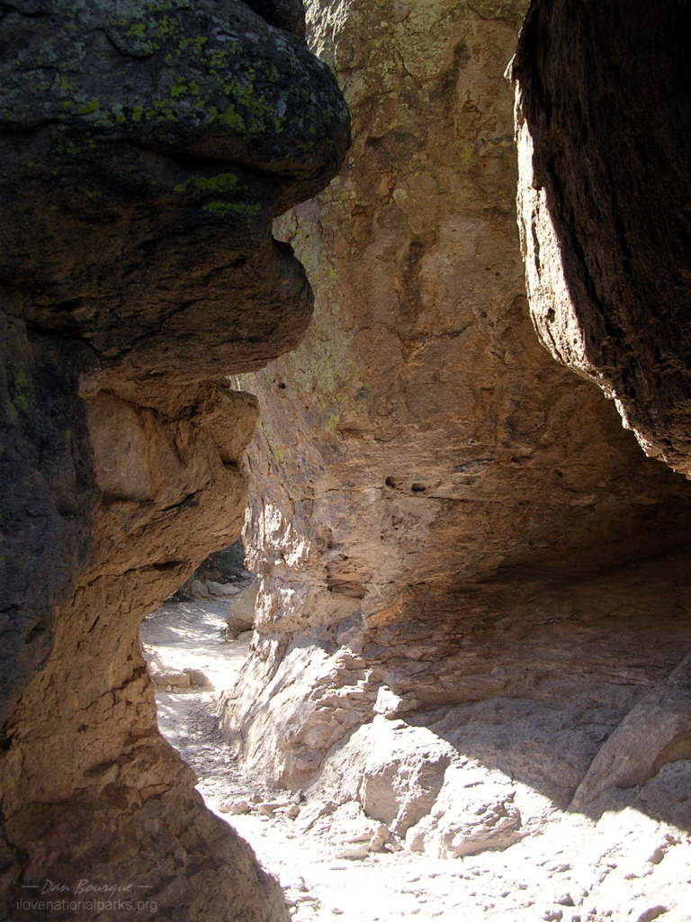
- The “Grotto” area of Echo Canyon Trail leads through several narrow canyons bordered by formations (October)
-
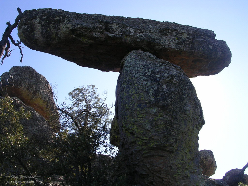
- Hiking Echo Canyon Trail yields views of hundreds of interesting formations like this balanced rock (October)
-
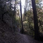
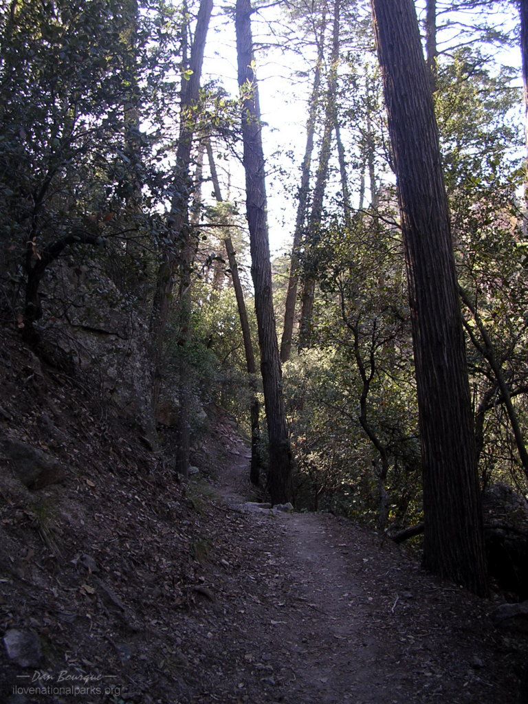
- Near Echo Park, the trail cuts through dense pine forest (October)
-
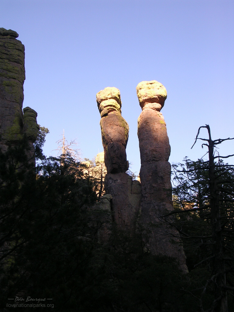
- As the sun drops lower, the shadows and light combine uniquely on the formations such as these twin rocks (October)
-
- The view from atop Sugarloaf Mountain is panoramic, though the formations look more spectacular when you’re among them (October)
-
- View looking south from Sugarloaf Mountain toward the remains of the ancient Turkey Creek Volcano (horizon) which spawned these unique formations (October)
-
- Massai Point offers a top-down look into the canyons of formations to the west (October)
-
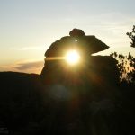
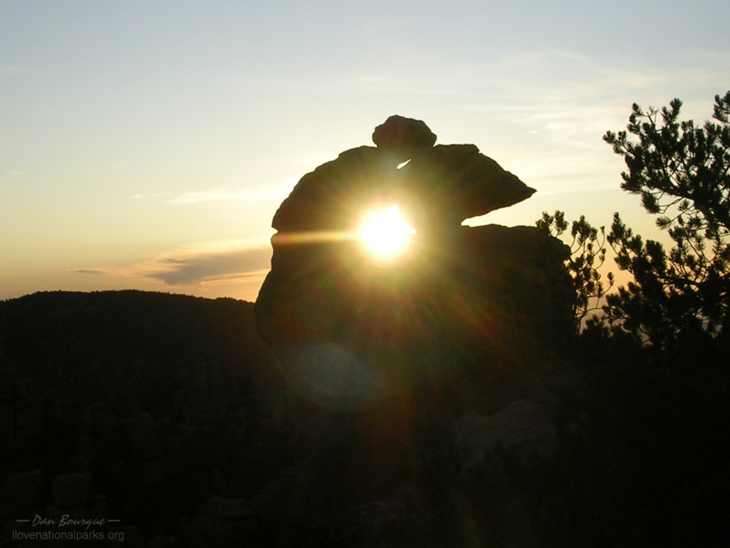
- Rocks form interesting formations everywhere. This window along the Massai Point Nature Trail offers an interesting view of the setting sun (October)
-
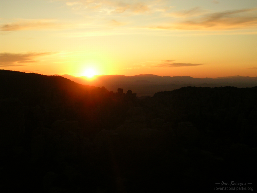
- Sunset over Echo Canyon as seen from Massai Point (October)
Write Your Own Review