
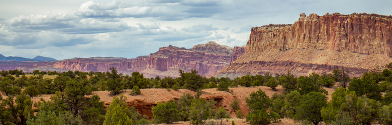
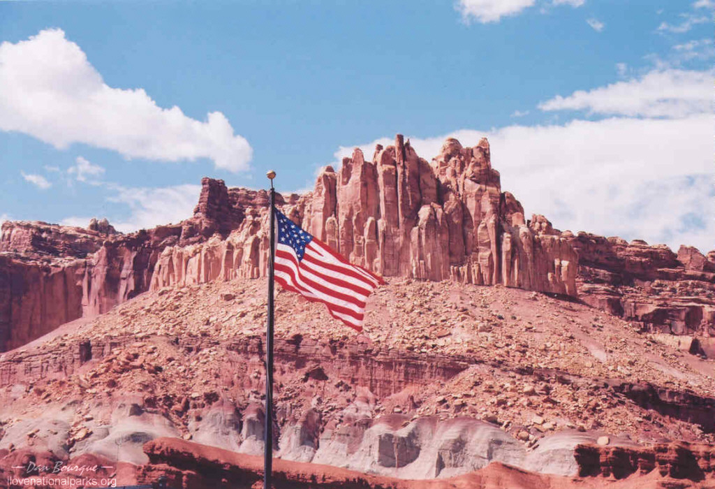
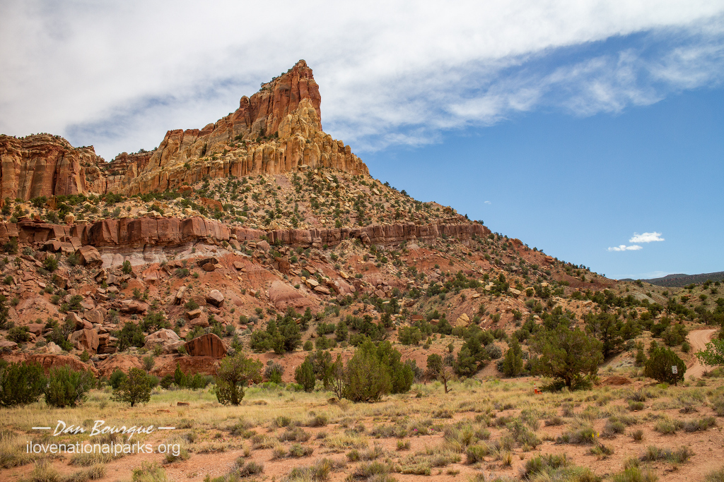
 Most people can probably name one or two national parks in Utah, but many have never heard of Capitol Reef. Founded in 1971, Capitol Reef National Park, Utah, is home to a dramatic geologic “fold” in the Earth’s crust. From the ground, the Waterpocket Fold resembles cliffs and buttes, but from the air, the long parallel waves of rock become evident. What this means to visitors is a line of spectacular and unique rock formations nearly 100 miles long.
Visitor Rating (write your own review below)
Less visited but still amazing
ILNP Rating![]()
Scenery![]()
Uniqueness![]()
Wildlife![]()
Diversity![]()
ILNP Park Review
In a Word. “Vibrant”
“Let all the earth fear the LORD; let all the people of the world revere him. For he spoke, and it came to be; he commanded, and it stood firm.” -Psalms 33:8-9
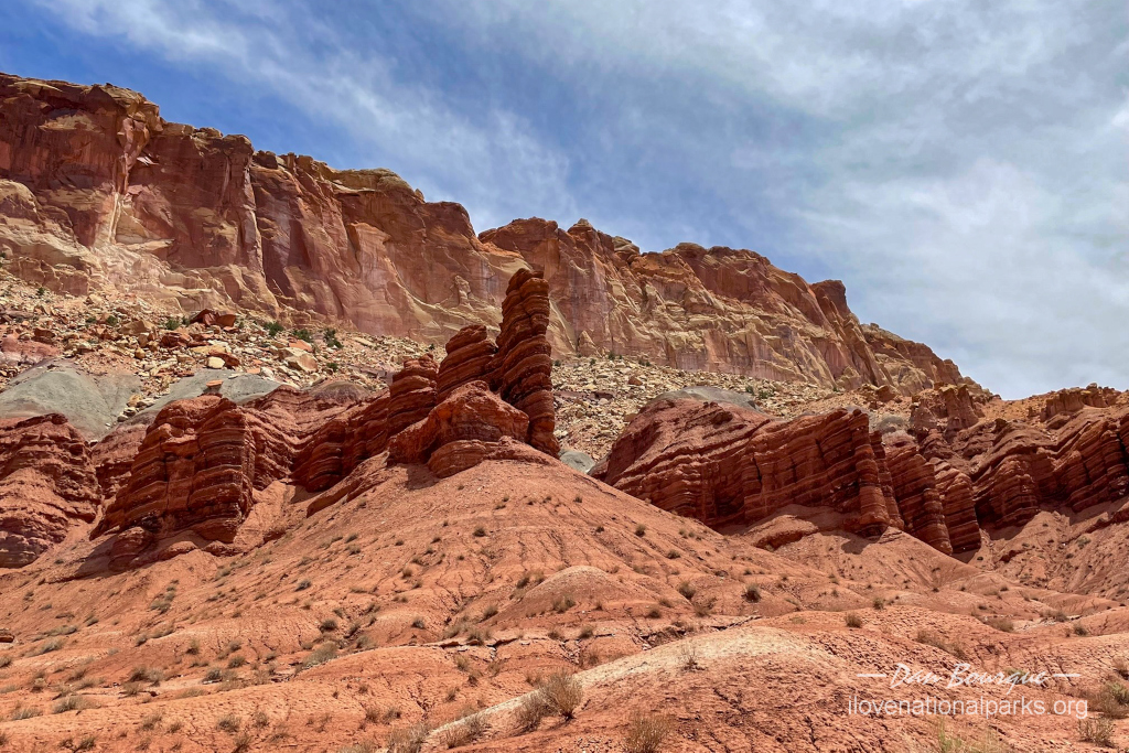
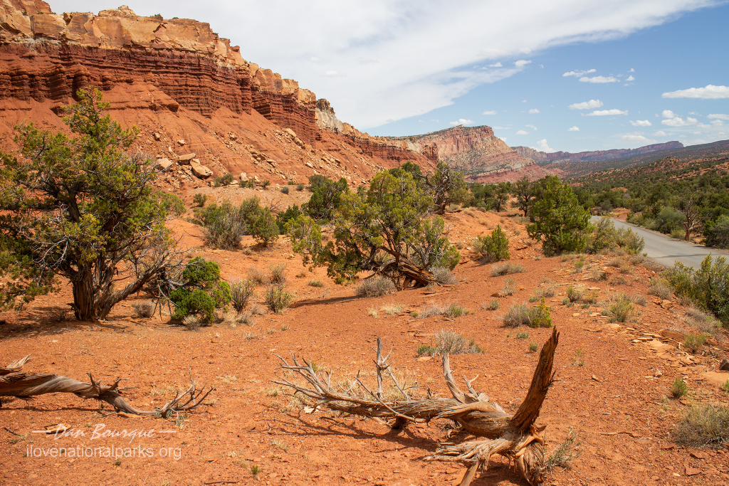
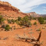
The first part of the scenic drive is marked with geometrically interesting red rock strata
Our Visit. Our first visit to Capitol Reef during June was purely an accident! We were taking the scenic route from Bryce Canyon to I-70 when we literally ran into Capitol Reef National Park. It certainly was a pleasant surprise! It took 20 years to return, but I finally got to spend a half a day in Capitol Reef with my son, again in June.
Our Weather. Mid ’70s and partly cloudy
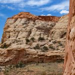
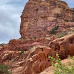
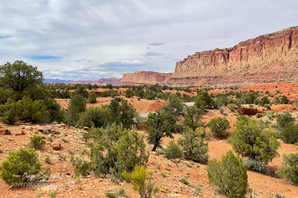
Overall Impression. Capitol Reef is not a well-known park, but it’s beauty is surprising and rivals the other parks in Utah. The rocks are a brilliant red mixed with gold. However, these rocks (particularly along the Fremont River and Sulphur Creek) leave you feeling like you’ve just visited the Martian landscape. While only a small portion of the park is easily accessible, this is a great Park to explore if you want to avoid the inevitable crowds which surround more popular Parks.
Favorite Spot. The Narrows of the Grand Wash
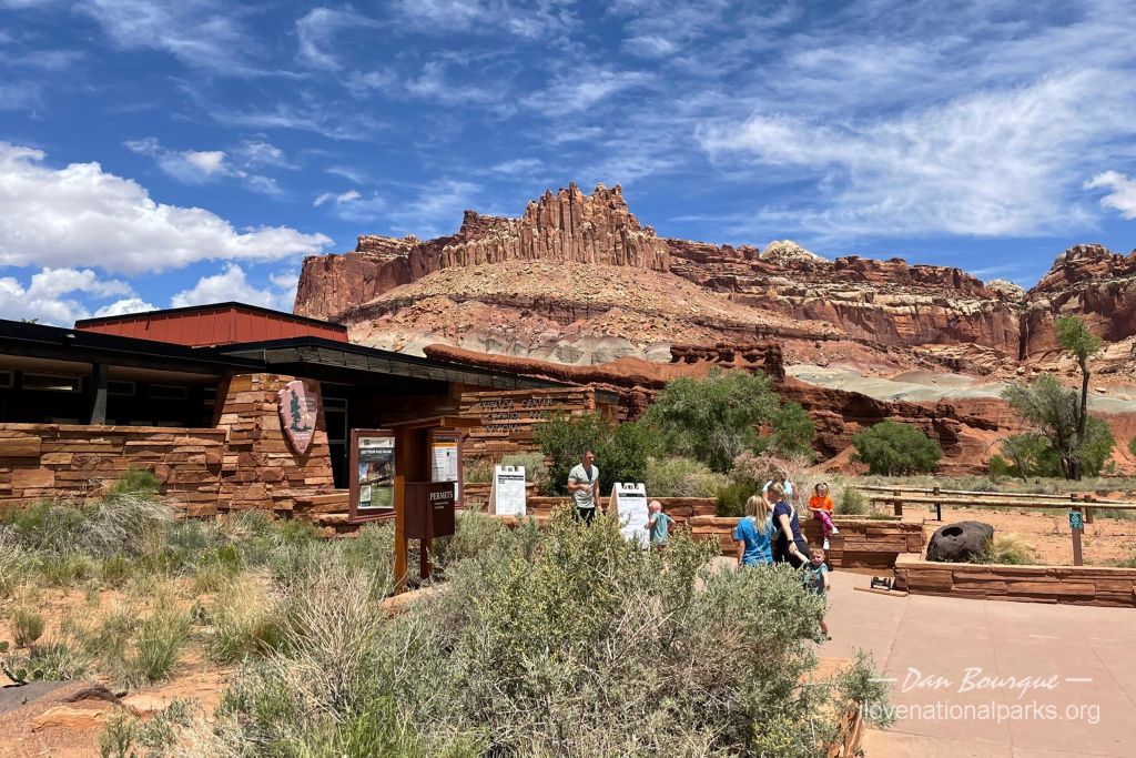
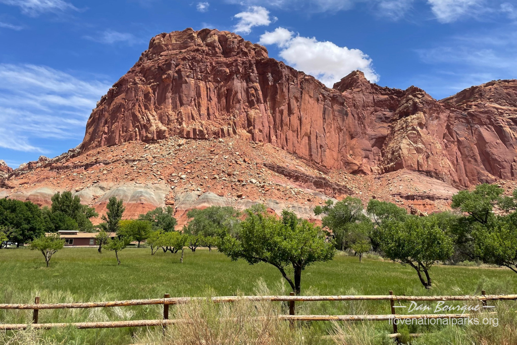
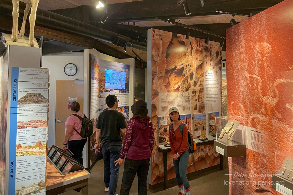
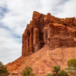
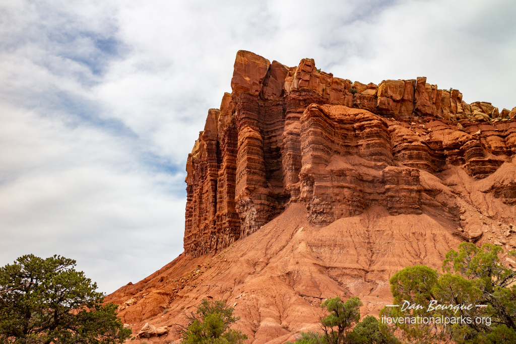
The Visitors Center lies at the junction of Utah Highway 24 and the scenic drive in the middle of the park–the Castle formation can be seen in the background
Minimum Time Required. About 20 minutes. The quickest way to see Capitol Reef is to drive right through on Utah Highway 24. There are many incredible rock formations like The Castle and good photo opportunities right off the road. You’ll be surprised at the dramatic change between red cliffs and the more mounded “slickrock” like Capitol Dome which occurs about halfway through the drive. If you have a couple of extra minutes, stop at the Visitors Center and pick up a brochure to learn the history of the area. There are also several pull-offs with very short hikes to features like petroglyphs, historic buildings, and rock formations which will only take a few minutes apiece.
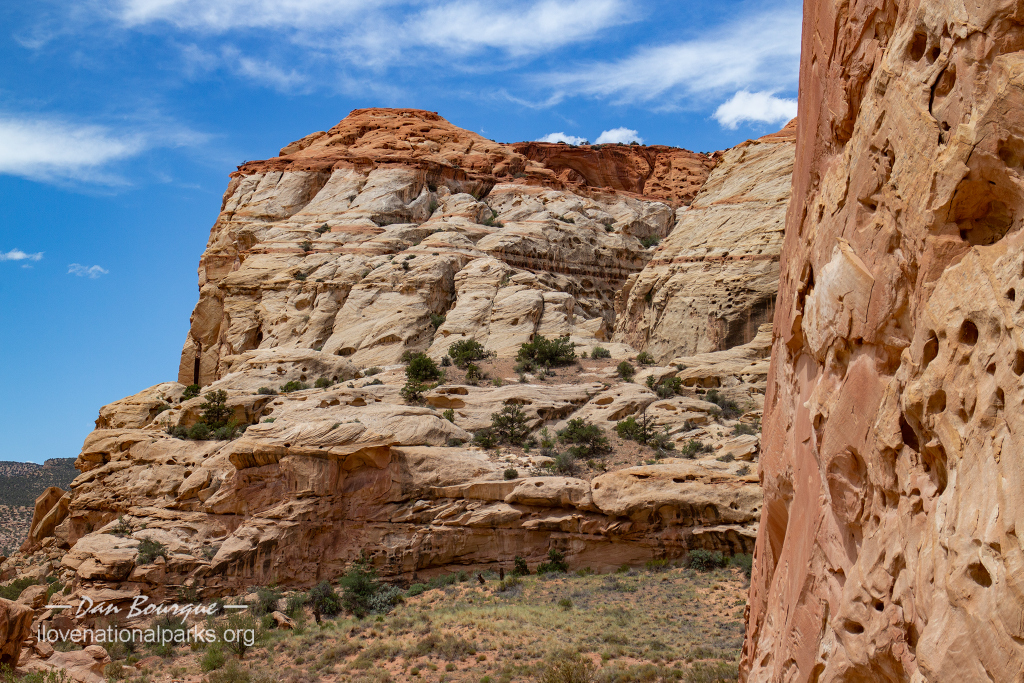
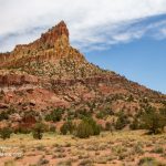
The view south from Slickrock Divide shows the angle of the strata in Waterpocket Fold
A Longer Visit. While the park is huge, only a small section is easy to get to via paved roads. With a few hours, take the 8-mile Scenic Drive from the Visitors Center south along the Waterpocket Fold. If you just stay on the main road, you’ll get great up-close views of geometrically interesting rocks and great views of the Waterpocket Fold, especially from the Slickrock Divide pull-out. From here, you can really see the angle at which the strata protrude from the earth, especially as you look south.
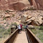
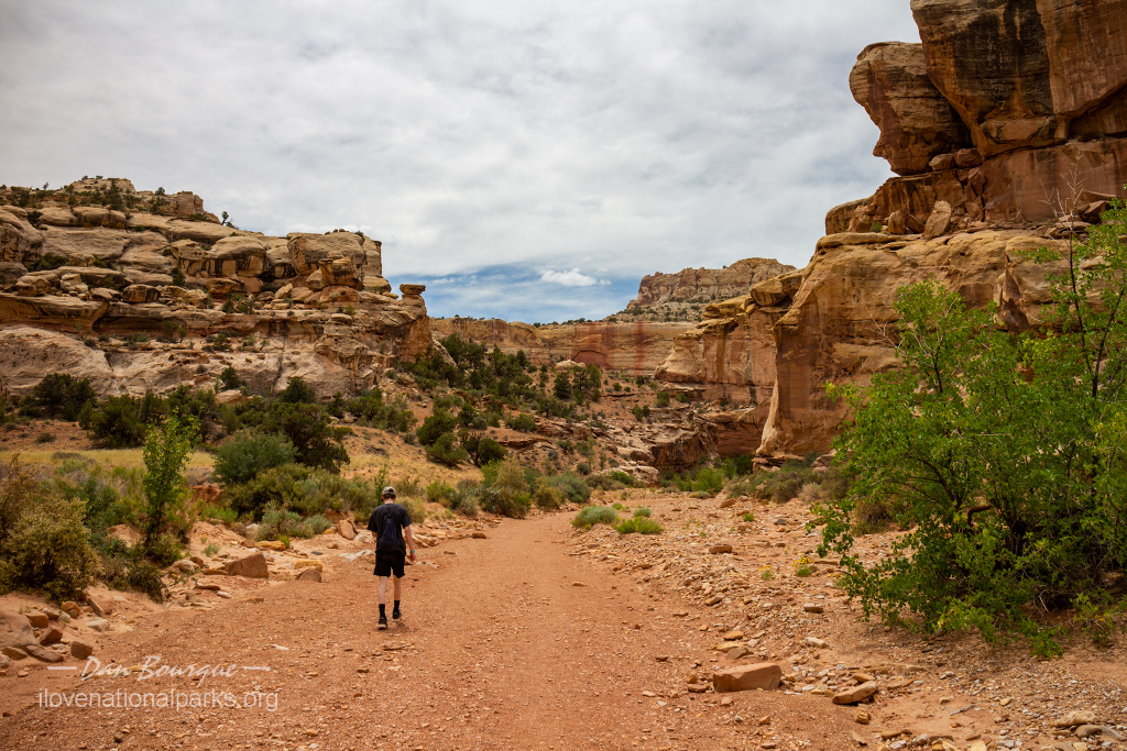
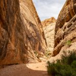
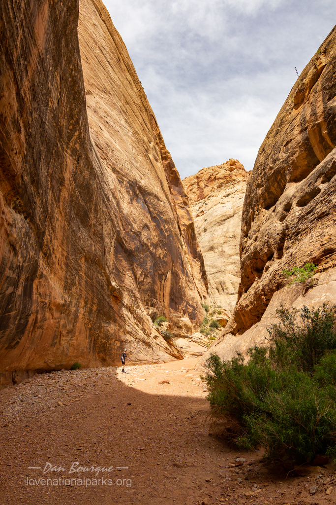
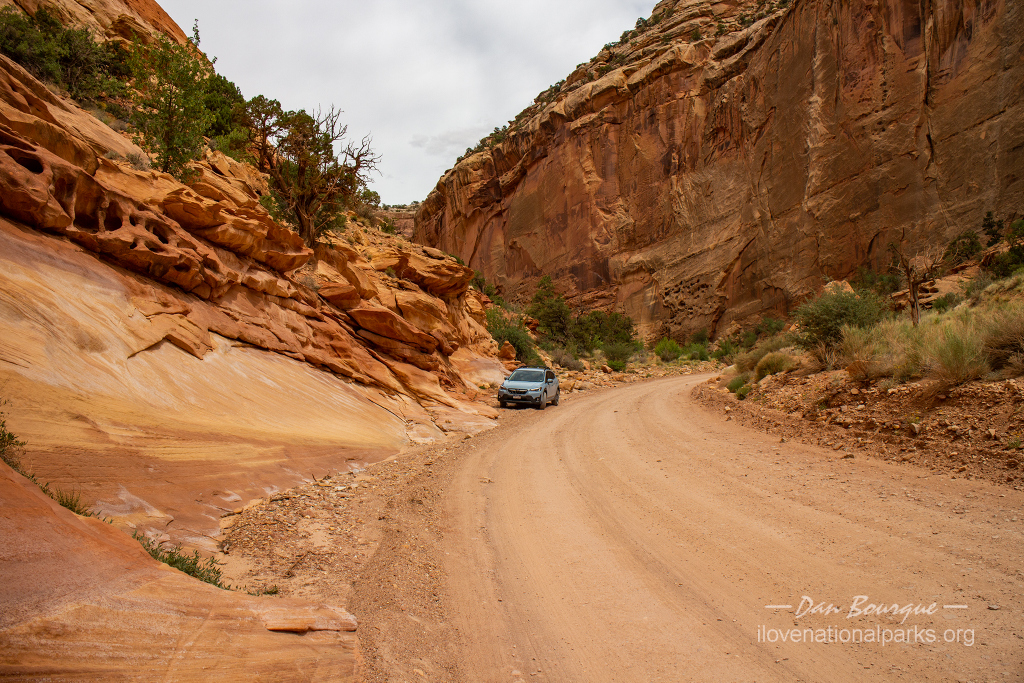
Along the way you’ll pass the Grand Wash. A short dirt road takes you to a parking area for two of the park’s most popular trails, Cassidy Arch Trail and Grand Wash Trail. Cassidy Arch Trail is strenuous and climbs from the canyon floor to the top where you can look down through the arch. If you aren’t going to hike to the top, at least pull-off briefly at the Cassidy Arch Viewpoint where you can get a glimpse of the arch high above. Grand Wash Trail is level and wide and has two entrances, one from the scenic drive (west side) and one from the main road through the park (east side). It’s worth hiking into the canyon even for a few hundred feet, but the neatest spot is The Narrows between the two entrances where the canyon walls are tight and curvy.
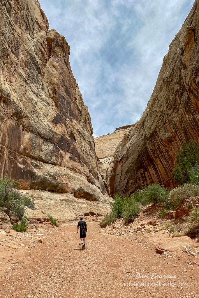
Entering the Narrows section of Grand Wash Trail from the west
The paved road ends in a parking lot surrounded by canyon walls and towering rock formations. You can go a little further on a dirt road into the canyon–it’s passable in a low-clearance vehicle but a lot more comfortable in an SUV, truck or jeep. This is where another popular hike, Golden Throne Trail, begins and climbs up the canyon walls.
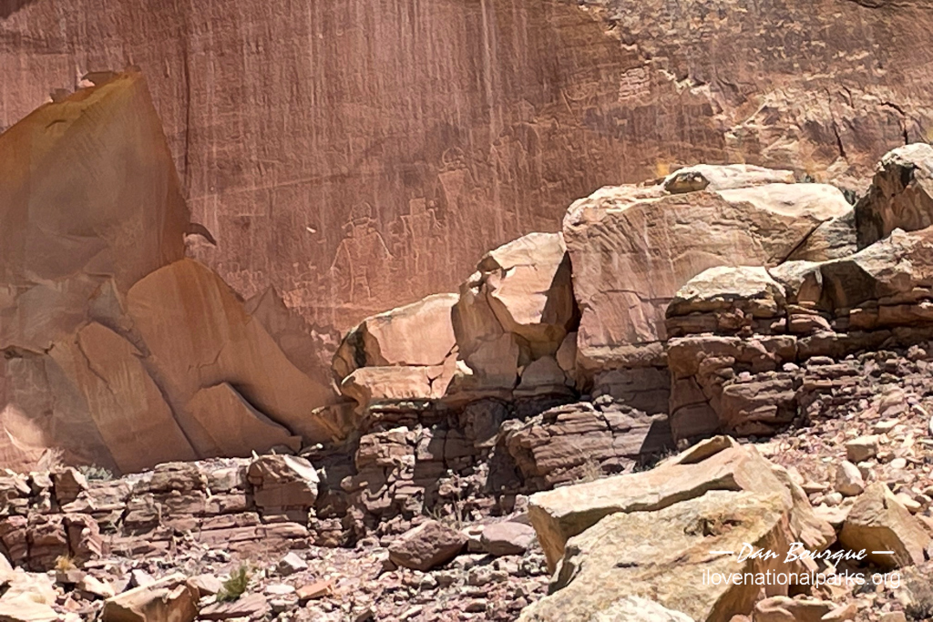
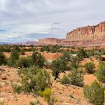
If you’re more interested in history, you’ll want to spend more time in the Fruita area. Groves of fruit trees still stand in neat rows along Sulphur Creek, a testament to the time of Mormon settlers in the area. The Gifford House still stands as a shop and museum to these times. An even earlier history can be seen at the nearby Petroglyph Panel along Utah Highway 24 east of Fruita. The petroglyphs are a little tough to see, but there are a few sets that can be viewed from the boardwalk or via the free binocular stands. West of Fruita are a few stops including Chimney Rock, Panorama Point, and Goosenecks Overlook for those looking for easy access to scenic features and great views.
Some of the fruit trees in Fruita marking the work of Mormon settlers in this area
Suggestions. We wouldn’t recommend planning a trip to Capitol Reef by itself unless you’re a serious backpacker looking to spend days on the trail in the more remote regions of the park. However, it is strategically located on one of the most beautiful drives in America. The best way to see Capitol Reef is to plan the scenic drive into your trip to Bryce Canyon and Zion National Parks. If you’re travelling from the east, take I-70 to Highway 24, drive through the park and take Highway 12 towards Bryce–you won’t be disappointed!
This is Utah desert, so its very dry! Take water and sunscreen everywhere you go, especially if hiking. If you want to hike to Cassidy Arch, the trailhead can be a little tricky to find as it starts from Grand Wash Trail. Entering from the west side, be sure to take all the little side trails off to your left (north) as the trailhead marker can be hard to see from the wash itself. We helped one couple find it who had overshot by about 1/2 a mile.
Nearby Towns Torrey, Bicknell (Utah)
Other Nearby Attractions Grand Staircase Escalante National Monument, Glen Canyon National Recreation Area, Bryce Canyon National Park
Official NPS Website Capitol Reef NP
-
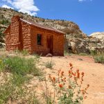
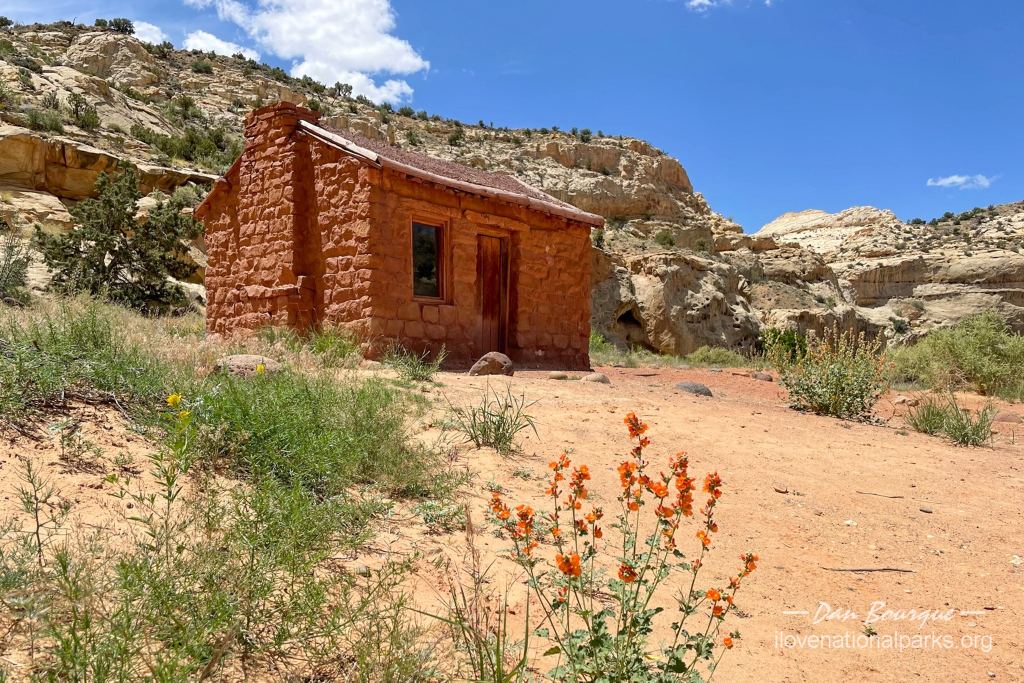
- Elijah Behunin built this tiny cabin for his family in 1882 before moving to Fruita a year later
-
- One of two viewing areas for the petroglyphs–they don’t stand out very well without pointers
-
- Here’s a close-up of the petroglyphs–you can see the human figures just above the rocks
-
- The Visitors Center lies at the junction of Utah Highway 24 and the scenic drive in the middle of the park–the Castle formation can be seen in the background
-

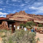
- Inside the visitors center is a small museum that details geologic history, early human history, and settler history of the area
-
- The Castle as seen from the visitor center (June)
-
- Some of the fruit trees in Fruita marking the work of Mormon settlers in this area
-
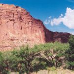
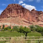
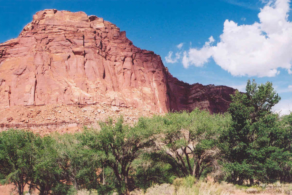
- Not all of Capitol Reef is rock, there’s still a bit of greenery to go ’round (June)
-
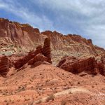
- The first part of the scenic drive is marked with geometrically interesting red rock strata
-
- Cassidy Arch can best be seen from atop the rocks, but the viewpoint along Grand Wash gives a glimpse–it’s in the center of the photo in the red band at the top
-
- The first part of the Cassidy Arch Trail is steep and climbs the canyon walls–a tiny hiker can be seen on the trail in the middle of the phot
-
- Grand Wash Trail is level and wide because it’s a dry riverbed–stay out during storms
-
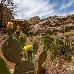
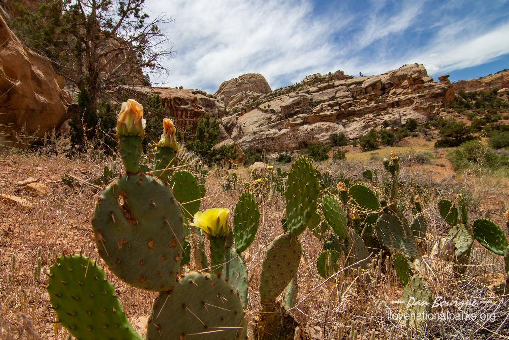
- The late bloom of a cactus adds a little more color to Grand Wash
-
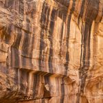
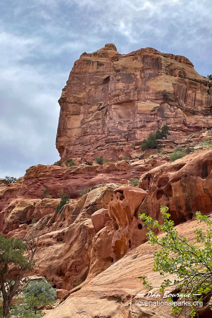
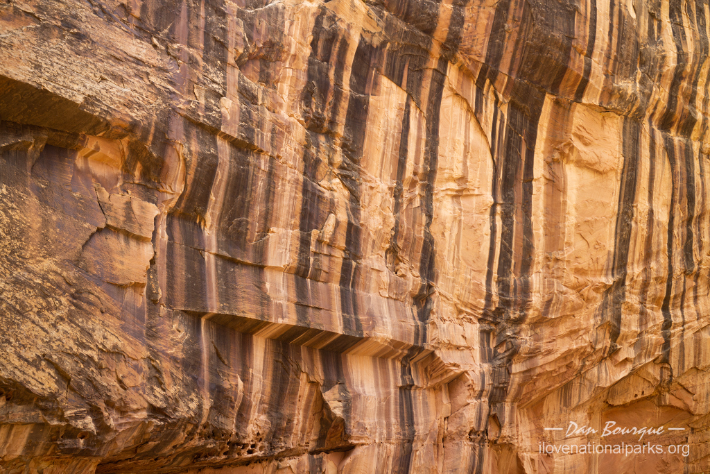
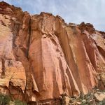
- The walls in Grand Wash canyon are both striated and vertically painted in many light and dark colors
-
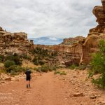
- Entering the Narrows section of Grand Wash Trail from the west
-
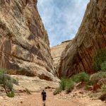
- This view, near the Narrows in Grand Wash, shows the height of the canyon walls relative to a person
-
- Many miles of the Waterpocket Fold can be seen from this vantage point near the Slickrock Divide on the scenic drive
-
- The view south from Slickrock Divide shows the angle of the strata in Waterpocket Fold
-
- Another view of the beautiful red rocks along the scenic drive
-
- The paved portion of the scenic road ends at beautiful EPH Hanks Tower
-
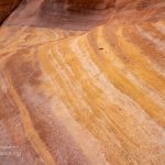
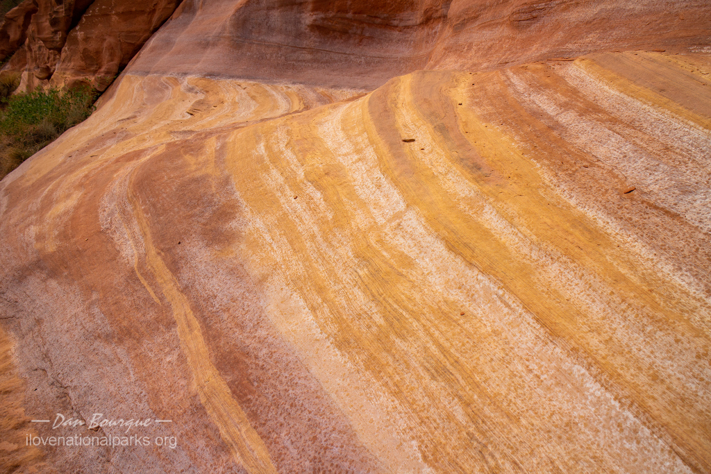
- Capitol Reef is full of color including these colorful bands of stone in one of the strata in Capitol Gorge
-
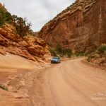
- The road through Capitol Gorge at the end of the scenic drive is passable by most vehicles
-
- A dirt road, the remnants of a pioneer road, extends into Capitol Gorge from the scenic drive
-

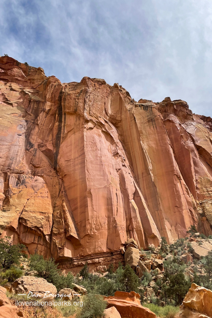
- Martian landscape near Twin Rocks (June)
Write Your Own Review
No Comments Yet