
 Death Valley, California, converted from a monument to a National Park in 1994, protects the lowest point in the US and the ecosystem surrounding one of the driest spots on Earth. At over 3,000,000 acres, Death Valley is also the largest National Park south of Alaska.
Visitor Rating (write your own review below)
Lots of variety
ILNP Rating![]()
Scenery![]()
Uniqueness![]()
Wildlife![]()
Diversity![]()
ILNP Park Review
In a Word. “Dry”
“The wilderness and the wasteland shall be glad for them, and the desert shall rejoice and blossom as the rose; it shall blossom abundantly and rejoice, even with joy and singing.” -Isaiah 35:1-2a
 Our Visit. I visited Death Valley NP twice, both during March while on trips to Las Vegas, NV.
Our Weather. The weather the first trip was pleasant and breezy (around 75 degrees), the weather the second trip was near 90 degrees.
Overall Impression. Death Valley is vast. The roads look close on a map, but it is miles from nowhere in the driest climate in the US. Despite the overwhelming dryness, there is water and tenuous life in the park and enough mix of history, geology and scenery to have something for everyone.
Favorite Spot. Staring out over Devils Golf Course
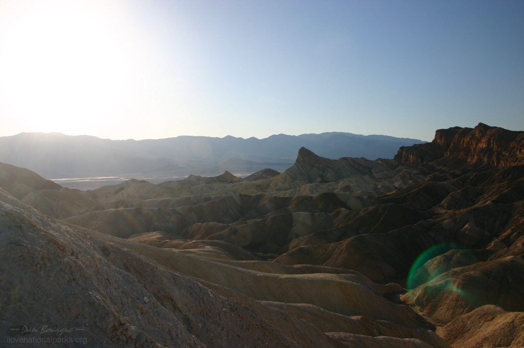
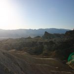
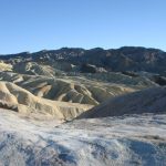
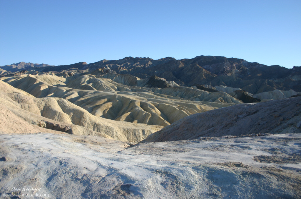
Zabriskie Point, near the Furnace Creek entrance, boasts some great formations and a great view, especially at sunrise. This shot is taken near sunset where most of the landscape is now shadow (March)
Minimum Time Required. About 2 hours. If you enter near Furnace Creek on the east side, you can get a feel for Death Valley in just a little time. Be sure to hit Zabriskie Point for the great views and stop at a few points down in the valley like Devils Golf Course and Badwater. This will give you some perspective on the unique geology and scenery in the park without having to completely traverse it.
A Longer Visit. A full day is sufficient to see most of the park, but you’ll still need to omit a few spots on a one-day visit. The drivable portion of the valley consists of three major sections. The southern section is dominated by salt flats, the middle section is primarily sand dunes, and the northern section is rocky and volcanic.
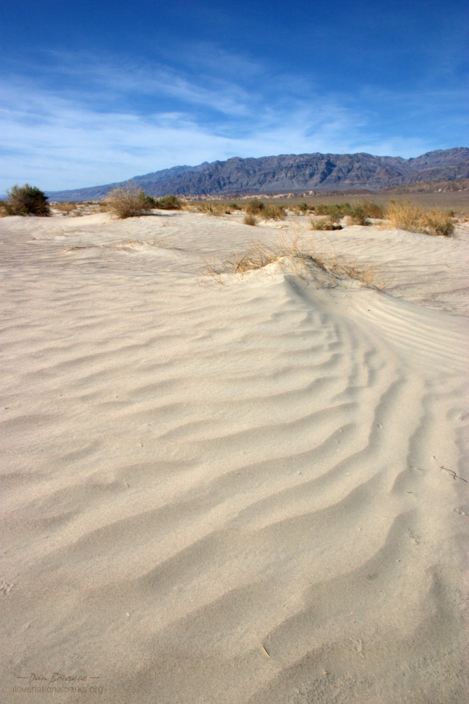
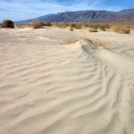
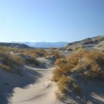
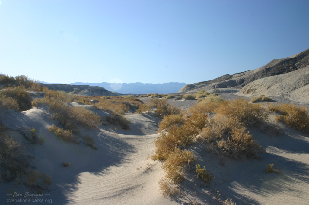
Small dunes on the valley floor near Old Stovepipe Wells (March)
To maximize your seeing-to-driving ratio, start at one end of the park and work your way along the valley in a linear fashion. If arriving from Las Vegas, consider starting out from Nevada Highway 374 and working south. If starting here, walk the short boardwalk at Salt Creek and spend some time in the dunes near Stovepipe Wells before pressing south toward Furnace Creek. This is a BIG park, so be prepared to spend a lot of time in the car. Zabriskie Point is a great spot for photos, and nearby you can drive through Twenty Mule Team Canyon to get up-close with the badlands. When things get hot, drive back to the Furnace Creek Visitors Center and spend some time cooling off and learning more about the park from a Ranger and the slide show.
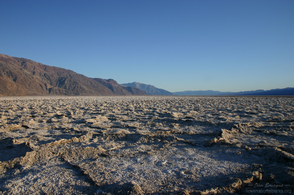
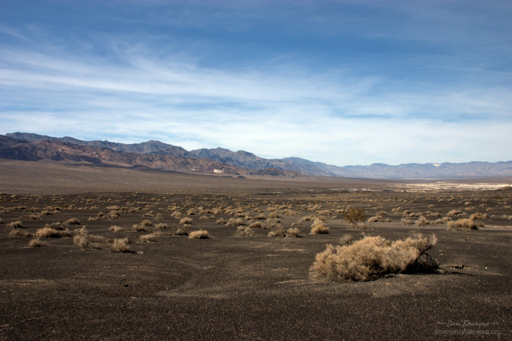
The valley is vast and covered by salt flats (March)
If you’re in to history, the Harmony Borax Works near the visitors center provides a walk-through tour of an old mining operation. The southern part of the valley is full of sights including the strange salt formations at Devils Golf Course. If you’ve got extra time, take the one-way detour through Artists Palette or hike up to Natural Bridge. If you’re looking for a lighter hike, you can walk out onto the salt flats further south at Badwater. Be sure to scope out a good spot to watch the sunset.
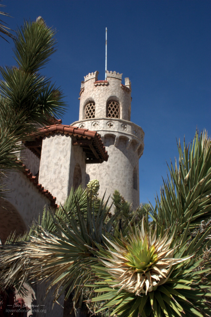
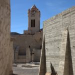
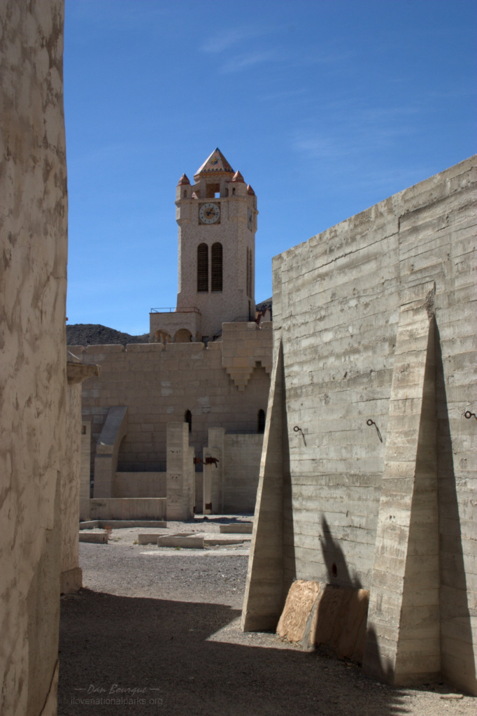
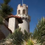
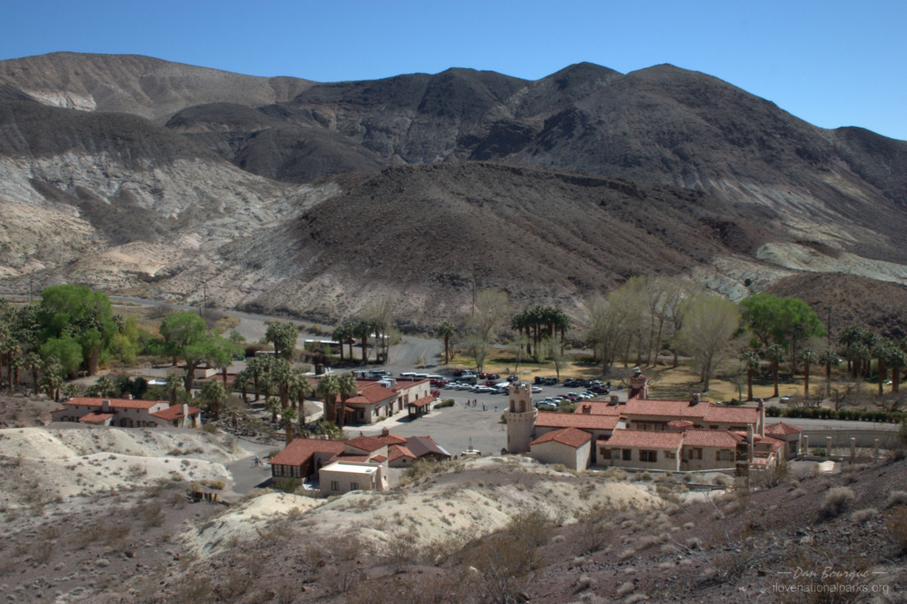
Part of Scotty’s Castle in the northern section of the park
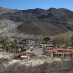
If you’ve got more time or are more interested in buildings, make your way to the northern portion of the park. This portion of the park is home to Scotty’s Castle with its visitors center and museum at the former estate of a wealthy and eccentric man. The NPS offers walking tours of the inside of the buildings for a reasonable fee, or you can tour the premises and take photos of the outsides of buildings on your own. The castle is several hundred feet higher in elevation than the valley floor, and the property is home to dozens of palm trees making this a nice place to spend midday away from the hot valley.
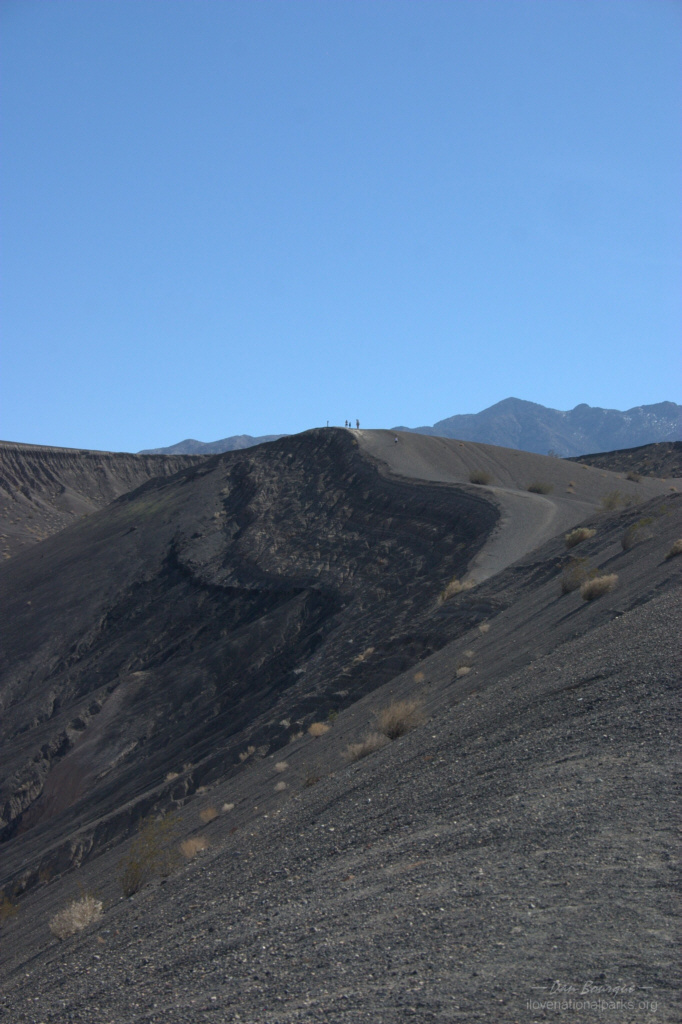
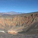
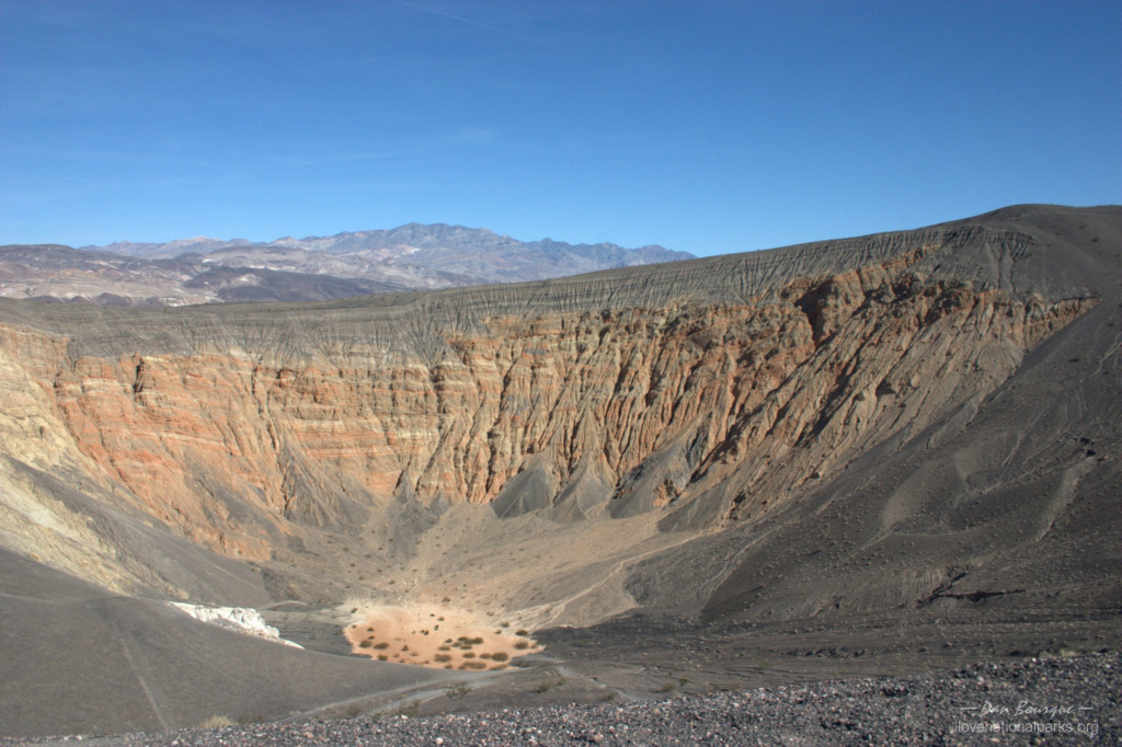
While in this section of the park, make the short drive out to Ubehebe Crater, the large caldera of an extinct volcano. As you get close, the valley soil changes from brown to black. Excellent views inside the crater can be had from the parking lot, but a trail winds along its edge for even better views for the more adventurous.
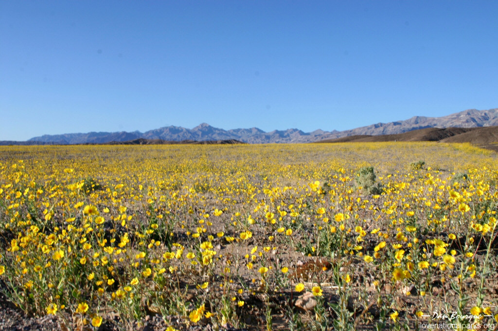
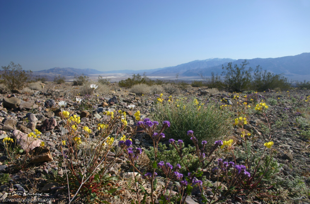
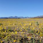
Wildflowers cover portions of the valley in February/March
Suggestions. Think safety in the heat! Bring sunscreen, a hat, sunglasses and twice as much water as you’ll think you’ll need. Distances are deceiving in this park, so you’re not as close to help as you think you are. Despite the 1.3 million annual visitors, I drove for several miles at a time without seeing another car.
To beat the heat and improve your photography, try to limit your excursions to early morning and early evening when the sun is low. This will keep you cooler and will provide more shadow and definition to your photos.
 If you can pick a time of year to go, February and March are great months. Not only are they cooler, but you’ve got a good chance of seeing the desert in bloom with wildflowers. It’s a little odd to see all the rock, sand and salt sprinkled with so much color, but the contrast adds to the park’s dry beauty and mystique.
Nearby Towns Beatty, Pahrump, Las Vegas (Nevada)
Other Nearby Attractions (None noted)
Official NPS Website Death Valley NP
-
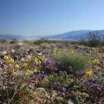
- Several varieties of wildflower bloom after brief showers in late winter (March)
-
- Wildflowers cover portions of the valley in February/March
-
- Small dunes on the valley floor near Old Stovepipe Wells (March)
-
- Zabriskie Point, near the Furnace Creek entrance, boasts some great formations and a great view, especially at sunrise. This shot is taken near sunset where most of the landscape is now shadow (March)
-
- Badlands surround Zabriskie Point (March)
-
- Death Valley is DRY. Sand and salt rule the valley floor. These dunes are near Salt Creek (March)
-
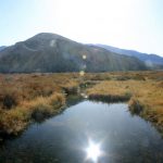
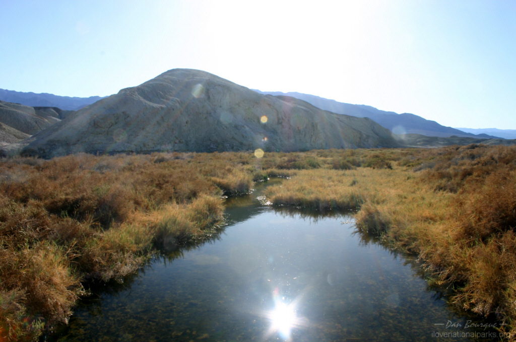
- Despite receiving less than 2 inches of water per year, there are a few areas of permanent water including Salt Creek (March)
-
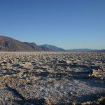
- The valley is vast and covered by salt flats (March)
-
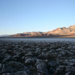
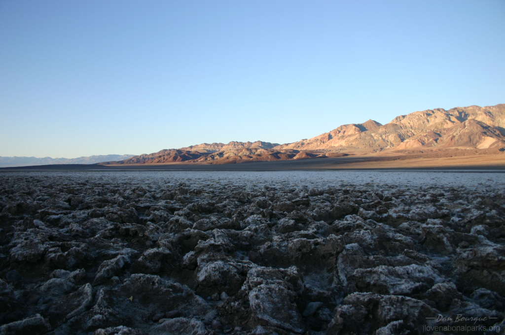
- Devil’s Golf Course is home to a bizarre array of salt formations (March)
-

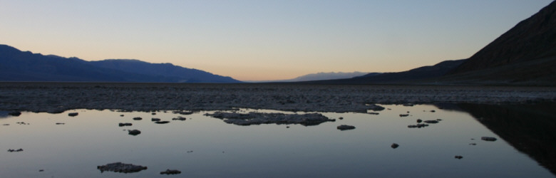
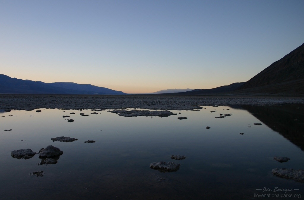
- I didn’t expect to get any good reflection shots in Death Valley, but the boardwalk at Badwater provided an opportunity at twilight (March)
-
- Black volcanic soil north of Ubehebe Crater (March)
-
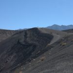
- Trail winding around Ubehebe Crater (March)
-
- View of the volcanic Ubehebe Crater from the parking lot (March)
-
- Wall around Scotty’s Castle (March)
-
- Part of Scotty’s Castle in the northern section of the park
-
- Looking down on Scotty’s Castle from the trail to Scotty’s gravesite (March)
Write Your Own Review